
Topography Survey
Drone Survey
Road & Rail Survey
Cadestral Survey
GPR Survey
Property & Boundary Survey


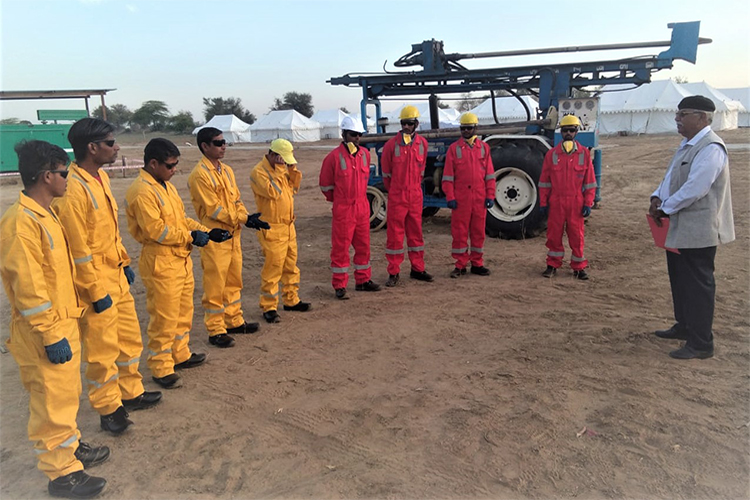
SIEAT approach 2D and 3D for Seismic Survey is based on harnessing our vast experience and people alongside our adoption of leading technology platforms and equipment, often provided by our highly precise instrument’s with methodology.
<br>The design a control point network strategically located according to the needs of the 2D and 3D for Seismic Survey. Establishment of control points, must do a scouting to the sites where theoretically the DGPS network points will be placed to verify the feasibility of the point in terms of stability, accessibility and visibility of satellites. When checking for the viability of the point proceeds to materialization according to the specifications agreed with the Client.
<br>The time positioning planning of DGPS network points considering the length of the baselines, levels of DOP and satellite geometry for excellent quality positioning. The positioning of the DGPS network will be done with dual-frequency DGPS receivers will be mounted on tripod and Rover with tribrach on tripod.
This method describes the procedure for Demarcation of 2D and 3D Line on Ground and will established final Coordinates of Receivers and Sources, for building Digital Elevation Models (DEMs) of the survey area.
Behind the word mountains, far from the countries Vokalia and Consonantia, there live the blind texts they live
©2026. SIEAT Engineering Pvt Ltd. All Rights Reserved.